Gallery - Selections of web maps and experiments.
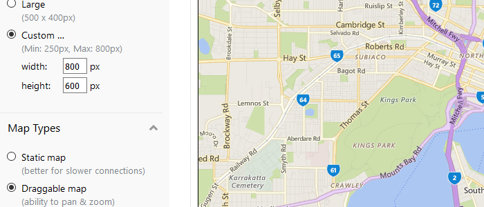
The "It doesn't get simpler than this" Map
Simple maps that anyone can add to the page, no GIS or mapping knowledge necessary. Two versions: Bing and Google.
View Project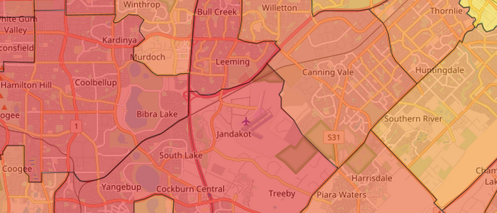
Power of Plugins
The first map I constructed with open source applications and demonstrating the power of a free Leaflet plugin.
View Project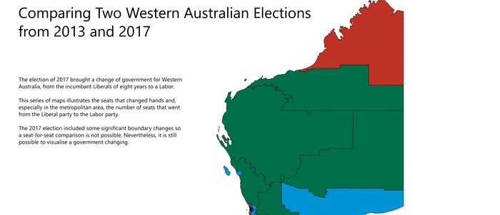
Visualising Political Change
An animation sequence demonstrating the significant change in electoral fortunes of the two major parties in Western Australia.
Made with QGIS and Inkscape and an online gif generator, ezgif.com.
View Project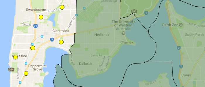
Electoral Detail: Voting Booth Breakdown
This map is aimed at presenting the voting patterns of a single electorate, Cottelsoe, by booth.
Data from the Western Australian Electoral Commission.
View Project