Rethink the Link Postcode Map Visualising supporter distribution
Project Description
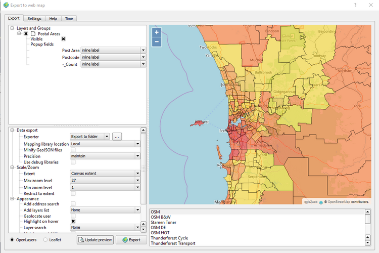
This map was developed to illustrate opposition to a freeway development in Perth, Western Australia was widespread on not confined to those directly affected. I used QGIS, with the qgis2web plugin.
What is interesting and powerful about this combination is that I knew little about mapping and nothing about the Leaflet JavaScript library (the power behind qgis2web). Yet, I was able to generate a functional and interactive map.
All that was necessary to know is how to prepare the data set in the right way and the essentials of using QGIS to generate the choropleth map.
You can read more detail about the development of the map and the campaign on my blog.
Supporter Map